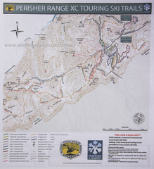
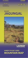
Mountain Map produced by professional cartographer and experienced orienteer/adventure racer Jon Sutcliffe.
Pocket sized (folds down to 75mm x 160mm from double sided A3) Good map clarity makes it easier to read in poor light and the pocket format ensures the map is easier to handle in windy conditions
- The MOST detailed map for the Western Faces for winter backcountry travel and summer hiking
- Features Hannel Spur Track; Western Faces; Highest 10 Peaks; Main Range around to Guthega
- Thredbo Backcountry out to Cascade & Teddy's Hut
- Sponsored by Australian Businesses Wilderness Equipment, XTM & Wilderness Sports
- 1:40K format printed in UK on waterproof and tear resistant paper.